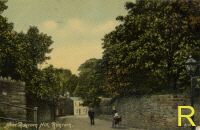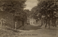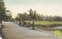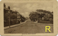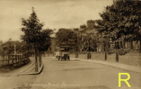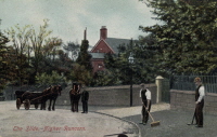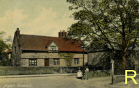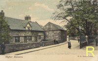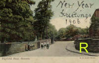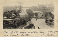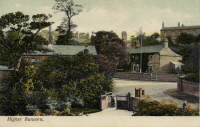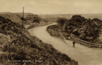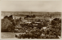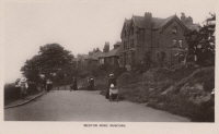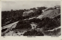
"Higher Runcorn" was, and still is, an area which lay approximately 1 Km. south of the main township. It consisted of some large houses, a couple of farms with orchards. Fields separated it from "Runcorn", to which it was joined by two tracks which became "Greenway Road" and "The Holloway". The south side of the present "Moughland Lane" also had large houses along its south side. By the 1880's housing was already beginning to spread up Greenway Road to eventually join Runcorn and Higher Runcorn together.
'Click' on any thumbnail picture to see it enlarged. Use the "back to last page" arrow on your browser toolbar to return to this page. The thumbnails with "R" on them point to web pages on which there are two pictures, the old approx 100 year-old one and a recent one. Move the mouse pointer on/off the picture to see either one or the other. If you have not got "broadband" you will have to wait a short time while both the images download.